
Spatial Data Analysis
Extract insights from spatial data to support planning, monitoring and decision-making.
Learn More →
JapakGIS delivers intelligent geospatial solutions for Africa, including GIS, satellite imagery, web mapping, drone surveys, spatial analytics and custom applications for businesses, governments and NGOs.


Extract insights from spatial data to support planning, monitoring and decision-making.
Learn More →
Use satellite imagery and advanced processing to monitor and analyse the earth’s surface.
Learn More →
Develop tailored web and mobile GIS applications to solve unique challenges.
Learn More →
GPS mapping, mobile surveys and geo-referenced field data collection for research, assets and monitoring.
Learn More →
High-resolution aerial imagery and mapping for infrastructure and environmental projects.
Learn More →
Expert advice, training and end-to-end support for geospatial initiatives.
Learn More →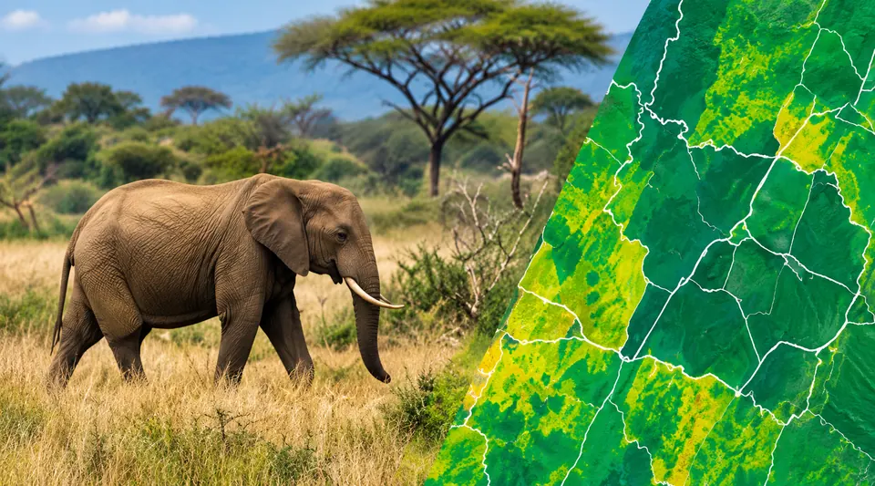 Environment
Mapping critical habitats to support biodiversity conservation.
 Cities
Using spatial analysis to plan smarter, more liveable and resilient cities.
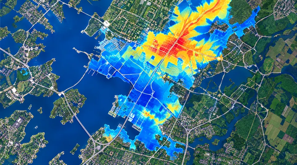 Disaster Response
Near real-time geospatial analysis for flood and disaster response.
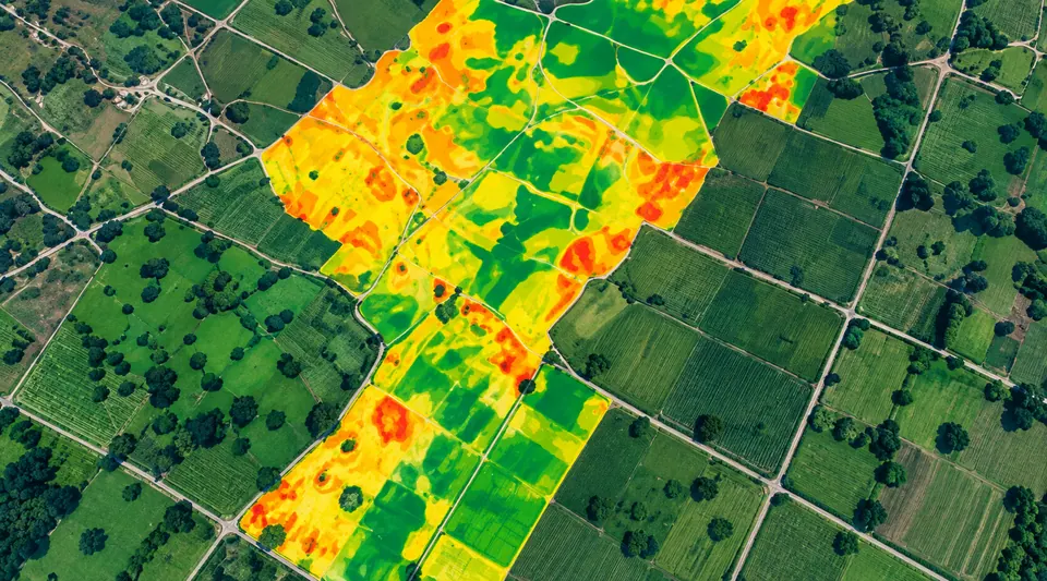 Agriculture
Identifying the best areas for sustainable agriculture and food security.
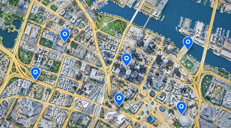 Business
Interactive store locator to help businesses reach more customers.
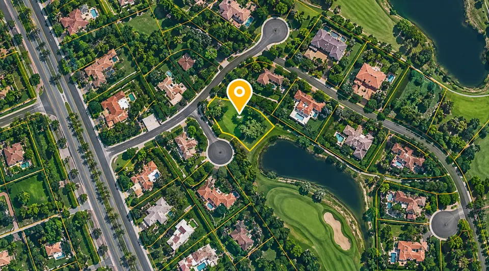 Real Estate
Powering property discovery with interactive maps and location data.
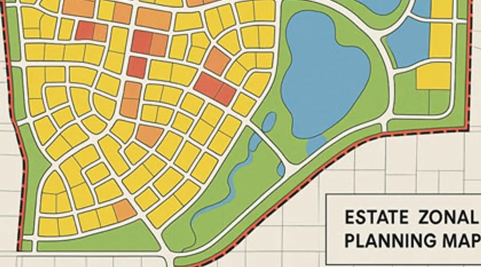 Real Estate
Visualizing estate zones, parcels and housing plans for better development decisions.
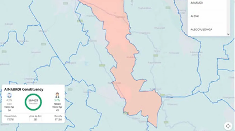 Analytics
Constituency and population analytics for equitable planning and service access.
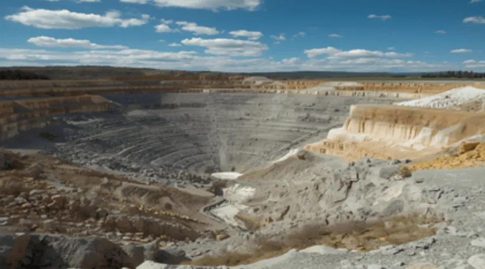 Environment
Monitoring mining sites and their environmental impact through spatial intelligence.
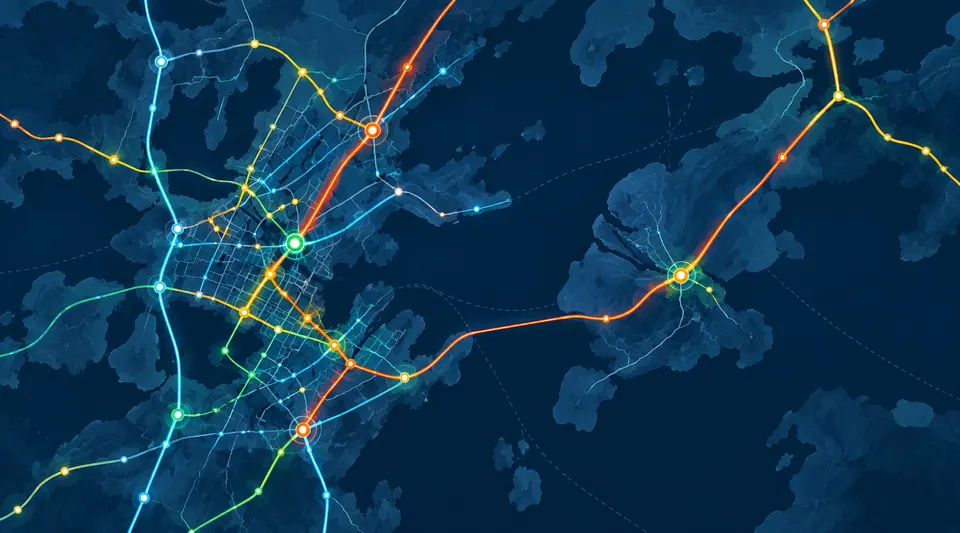 Infrastructure
Optimizing transport networks for stronger, more connected regions.
 Tourism
Showcasing destinations, attractions and travel information through maps.
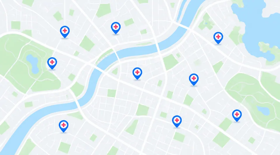 Health
Helping communities find nearby health services and facilities.
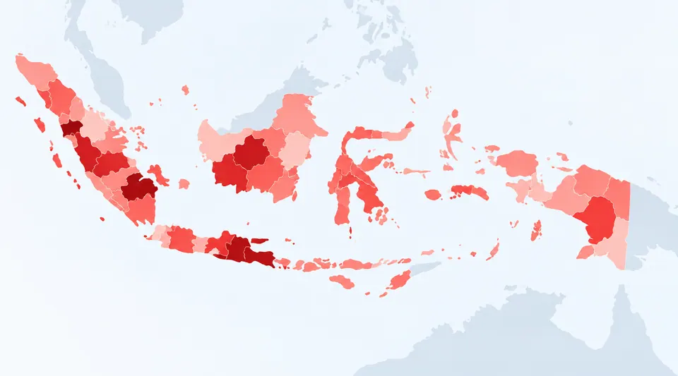 Public Health
Visualizing health trends to support early detection and response.
 Energy
Mapping energy assets for a cleaner, more resilient future.
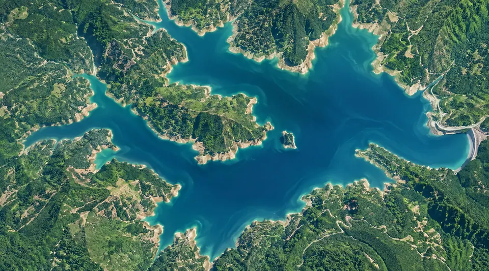 Water Resources
Monitoring water resources for sustainable management.
Follow our journey
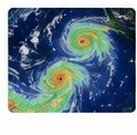
Tracking storm paths and highlighting high-risk areas using real-time data and interactive maps.
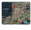
Helping businesses make better decisions with accurate and up-to-date location data.
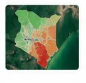
An interactive map showing the number of registered voters per ward across Kenya.






JapakGIS: It has revolutionized our geospatial projects with their experienced staff and tools, combined with powerful data analysis process allowing us to process and visualize spatial data with incredible accuracy.
JapakGIS: Reliable, timely, and professional. Their data is accurate and impactful. A seamless experience, their expertise shines through. Highly recommended for top-notch data collection in Africa.
JapakGIS has exceeded our expectations in every way. Its robust mapping and spatial analysis capabilities have streamlined our workflow, allowing us to visualize and interpret data faster.
From data collection to custom applications, we help turn geospatial data into real impact.