Advanced spatial analytics to derive actionable insights from geographic data. At JapakGIS, we provide expert geodata analysis essential for uncovering hidden patterns, identifying trends, and making informed, data-driven decisions based on complex geographic variables.
We transform raw spatial data into meaningful information through rigorous geoprocessing and topological analysis. By standardizing coordinate systems and enforcing strict topology rules, we perform complex vector and raster overlays. This foundational analysis allows us to identify spatial relationships, perform site selection, and create harmonized geodatabases that serve as a reliable base for engineering and planning projects.
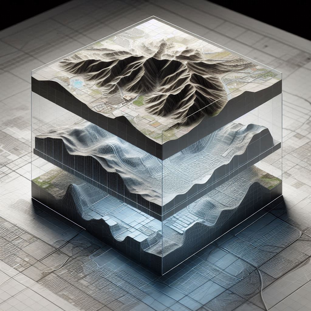
Our analysts build sophisticated Multi-Criteria Decision Analysis (MCDA) models to solve location-based challenges. We develop suitability maps and predictive models that incorporate environmental constraints, socio-economic weights, and threshold values. These "what-if" scenarios enable planners to visualize future impacts, optimize land use, and test development options within a dynamic 3D spatial environment.

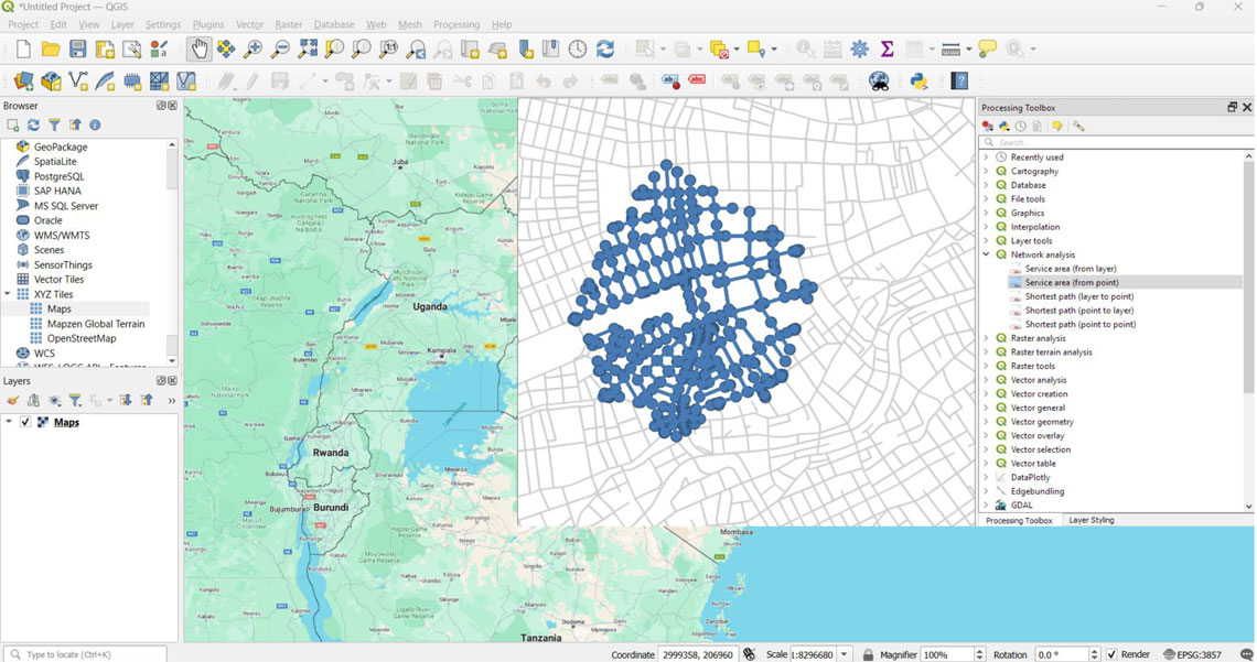
Go beyond simple mapping with advanced spatial statistics, including Hot Spot Detection (Getis-Ord Gi*) and cluster analysis. We specialize in network analysis to optimize routing, service coverage, and catchment area definitions. By applying geostatistical techniques, we turn proximity data into high-quality risk maps and priority zone layers, helping organizations allocate resources where they are most needed.