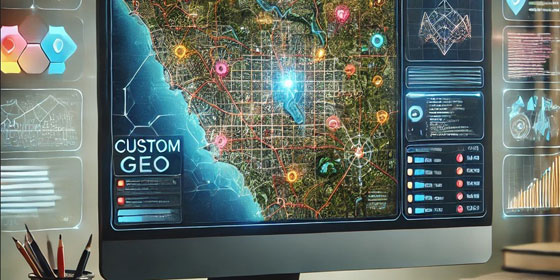
Tailored Geo software solutions to meet specific client needs, including web-based applications and mobile GIS solutions
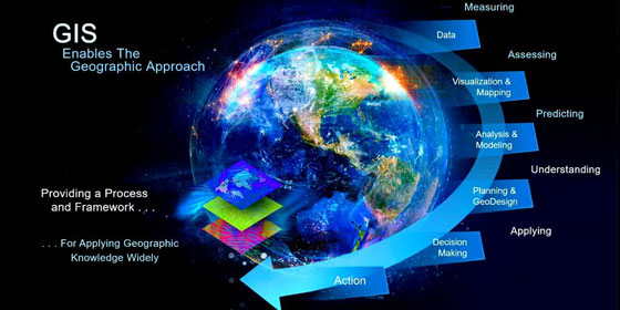
Advanced spatial analytics to derive actionable insights from geographic data
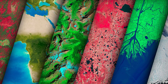
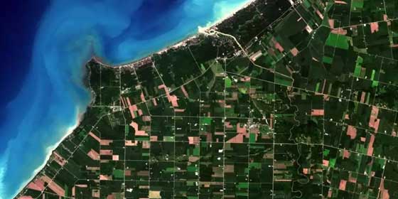
Utilization of satellite imagery and aerial data for environmental monitoring and land use mapping

Our drones (UAV) provide added value to numerous industries

At JapakGIS we have a team of reputable and experienced researchers, data scientists and reliable data collection agents
Expert consultancy services from project inception to completion, ensuring successful GIS implementation.
At JapakGIS, our software development team specializes in building and supporting map based applications

Expert consultancy services from project inception to completion, ensuring successful GIS implementation.