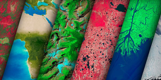
Utilization of satellite imagery and aerial data for environmental monitoring, land use mapping, and disaster response. At JapakGIS we capture raw imagery data using drones, perform image processing and develop high-quality 2-D, 3-D and thematic maps using the latest GIS technology. The services include:
